Mapping service 2GIS has introduced a new “Neon City” layer that transforms its maps with a visual style inspired by video games of the 2000s, particularly the GTA series. The service’s press office confirmed the news.
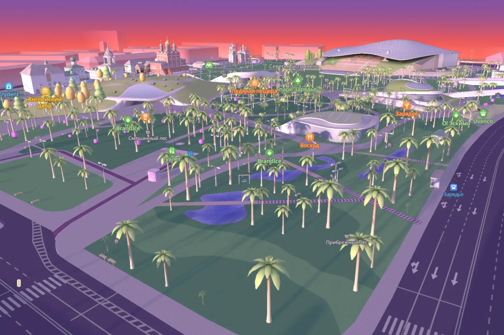
The mode can be activated by tapping the palm tree icon on the app’s home screen and is available in any city across Russia. During the day, the map takes on sunset-inspired colours, while at night, neighbourhoods are illuminated with neon lighting. Trees across the map are also replaced with palm trees.
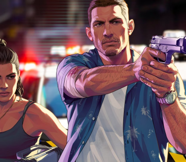
The update also adds a new navigation cursor featuring a man in a Hawaiian shirt riding a motorcycle. The character resembles Tommy from GTA: Vice City and can be enabled in the navigation settings. When users reach the end of a route with the new layer activated, the app displays a notification reading: “Mission completed: distance recorded.” In the “Friends on the Map” section, users can also send stickers featuring a speedboat or a palm tree.
A themed challenge will later be added to the “Tasks and Rewards” section. Users who complete it will receive an additional navigation cursor, a money-themed movement effect and a helicopter sticker.
“The ‘Neon City’ layer brings to the map an atmosphere familiar to many from games of the 2000s,” said Alevtina Goryacheva, 2GIS product manager.
The new features are available on iOS and Android after updating the app.