2GIS has introduced new features to make public transport navigation easier for users.
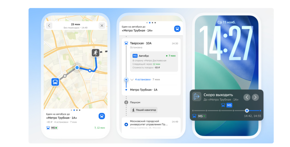
With the latest update, users can track the real-time locations of buses and metro trains. The app also automatically marks the completed part of a route in grey.
2GIS continues to show passengers how many stops remain and when they need to prepare for a transfer. The update also introduces a dedicated lock screen widget, allowing users to track their journeys without opening the app every time.
The company notes that location tracking may be less accurate in cities with deep underground metro systems.
The new features are available by updating the 2GIS app to the latest version on iOS and Android devices.