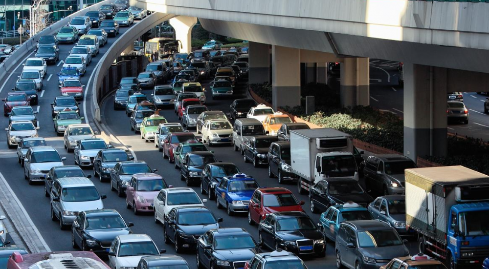
In Baku, drivers will be able to be informed in advance about traffic jams, accidents, and repair works. For this purpose, the development of a high-precision 3D three-dimensional electronic map and navigation-based mobile application has been started in order to be able to analyze the current state of the road-transport infrastructure.
This was reported by the Intelligent Transport Management Center of the Ministry of Internal Affairs.
It was stated that the map is intended to reflect all roads, lanes, road signs and traffic lights, bridges and tunnels, and address information, as well as to create the possibility of easily updating them: electronic transmission of data to the Ministry of Internal Affairs and Communications and the use of mobile phones as an average speed sensor will be provided by drivers.
In the framework of the project involving the experienced experts on geographical information systems of Great Britain and Turkey, filming was carried out in an area of 6 thousand 235 km across the city of Baku. Prepared map data will be reflected in the mobile application to be used by citizens. Through the mentioned application, citizens will be able to observe the presence of repair works, accidents, and traffic jams in the relevant areas on the map. In addition, in the future, through the application, citizens will be able to review the situation on the roads in real time through video surveillance cameras. In general, it is planned to put the mobile application into operation within the next year."


